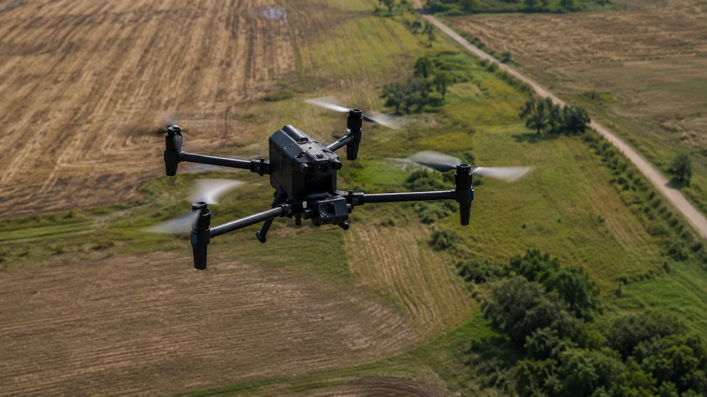
EyeSoar is a locally owned aerial inspection, thermal imaging, and drone mapping company based in Robinson, IL. We help businesses, utilities, contractors, and property professionals across East Central Illinois and West Central Indiana capture clear aerial data for inspections, mapping, documentation, and project review.
EyeSoar was founded in Robinson, IL to provide local aerial inspection and mapping support for businesses, utility teams, contractors, and property professionals throughout the region. Instead of relying on providers located hours away, clients can work with a company that understands the area and responds quickly when projects arise.
East Central Illinois and West Central Indiana are home to utility infrastructure, agricultural operations, construction sites, industrial facilities, commercial properties, and rural project areas that benefit from reliable aerial documentation. EyeSoar was built to support these needs with professional drone services backed by local accountability.
We are not a photography company that happens to offer drones. Our focus is aerial inspections, thermal imaging, and drone mapping. That specialization influences how we plan flights, collect data, communicate with clients, and deliver information that supports real-world decisions.
Whether the project involves a utility inspection, thermal review, construction documentation, or mapping support, our goal is simple: provide dependable aerial data that helps clients better understand their assets, properties, and projects.
EyeSoar helps businesses, utilities, contractors, and property professionals make informed decisions through safe, efficient, and reliable aerial inspection, thermal imaging, and mapping services.
Our mission is centered on delivering practical value through aerial technology. Clients often need accurate visual information to support infrastructure reviews, property management, maintenance planning, construction progress tracking, and operational decisions. Quality aerial data can improve documentation, reduce unnecessary site visits, and provide a clearer understanding of project conditions.
That means showing up professionally, capturing useful data, communicating clearly, and treating every project with attention to detail regardless of size.
We believe aerial services should do more than collect images from above. Every flight should serve a purpose, every deliverable should provide value, and every client should receive clear communication from start to finish. As a locally owned company, we also strive to build long-term relationships with clients who need ongoing inspections, documentation, or project updates over time.
EyeSoar operates under a valid FAA Part 107 Remote Pilot Certificate, the required commercial drone license for professional UAS operations in the United States.
EyeSoar carries drone liability insurance to help protect clients, project sites, and operations. Documentation is available upon request for qualified projects.
EyeSoar is a locally owned business based in Robinson, IL, serving clients throughout East Central Illinois and West Central Indiana with professional aerial inspection, thermal imaging, and drone mapping support.
EyeSoar primarily serves East Central Illinois and West Central Indiana. Our Robinson, IL location allows us to efficiently support clients throughout Crawford County and surrounding communities.
We regularly work with clients near Terre Haute and Vincennes, as well as Illinois communities including Oblong, Newton, Hutsonville, and nearby areas. If your project falls outside our typical service area, contact us to discuss location, scope, and logistics.
EyeSoar provides professional aerial services for clients who need reliable visual documentation and project support. From utility infrastructure and commercial properties to construction sites and agricultural operations, our drone-based solutions help capture valuable information safely and efficiently. We focus on delivering clear visuals and actionable data that support inspections, planning, maintenance decisions, and ongoing project documentation.
Aerial visual documentation of poles, lines, equipment, and utility infrastructure data your team can review without putting workers at height.
Drone-mounted thermal cameras can help identify potential heat anomalies, moisture concerns, and equipment irregularities across roofs, structures, and industrial assets.
2D and 3D aerial mapping visuals for construction sites, agricultural land, project documentation, and property review delivered as usable visual data.
Tell EyeSoar what you need inspected, documented, or mapped, and we’ll contact you to discuss the aerial services that best fit your project.